


The Peace Parks Foundation Geographic Information Systems (GIS) team recently spent time at the Southern African Wildlife College to train the Higher Education and Training protected area management students, who are already employed by the region’s conservation agencies.
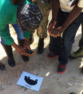
The course exposed students to an array of GIS techniques and applications and the advantages these could have in their work. Training was provided in the open source QGIS software and in the Spatial Monitoring and Reporting Tool (SMART) application, with specific focus on anti-poaching and species sightings patrols.
The students were left with an understanding of how these tools could benefit conservation in the parks they serve.

