

The world’s leading protected area management solution is now available for your mobile. The SMART partnership is excited to launch SMART Mobile, the SMART data collection solution for mobile devices. SMART Mobile capabilities will allow conservation practitioners including park rangers, protected area managers and other frontline staff to easily, accurately and quickly collect and upload data for analysis and action.
SMART Mobile revolutionizes field data collection and monitoring by using readily available smartphone technologies to enable georeferenced field observations, photos and other data to be captured using a single interface on one device. SMART Mobile can be used in terrestrial and marine environments, minimizing the time between data collection and management response allowing for greater conservation effectiveness.
Peace Parks Foundation is proud to be part of a global partnership that continuously works to advance the use of technology in conservation monitoring and reporting. The new mobile app is yet a further step forward in innovating data collection for SMART users. The look, feel and functionality has been overhauled and is way more efficient and user-friendly. It is definitely going to be helping conservation areas and data collectors do their work with ease
Denton Joachim, Senior GIS Technician and SMART Lead at Peace Parks Foundation
“SMART Mobile is a huge leap forward. We are so excited to be providing the ability to automatically generate rich and modern data collection forms” said Jonathan Palmer, SMART Chief Technology Officer and Executive Director of Strategic Technology, WCS.
SMART Mobile is part of the SMART decision support system for protected area management, designed to improve anti-poaching efforts and overall management effectiveness in conservation areas to improve protection of wildlife and their habitats.
The best solution for capturing conservation data
SMART Mobile offers functionality and user experience enhancements requested by field practitioners, as well as much tighter integration with other SMART tools, such as SMART Connect, allowing real-time data transfer and alerts that enable rapid operational responses.
“Making it quicker and easier to collect and act on data is essential for effective conservation action. Especially given the current global situation, with threats like poaching escalating, it is more important than ever for park managers to have immediate access to information which helps protect wildlife” siad Dr. Richard Bergl, Chair of the SMART Steering Committee and Director of Conservation, Education and Science at the North Carolina Zoo.

SMART Mobile includes all common smartphone navigation controls, such as touch/swipe and pinch and zoom controls, as well as advanced mapping and navigation, support for multiple languages, simple recording of complex observations, automated tracking of patrol data, real time alerts and many other new functions. SMART Mobile is powered by CyberTracker, a proven, collaboratively-developed solution that has been deployed successfully in hundreds of sites globally for over 20 years.
SMART Mobile was developed and extensively tested through an interactive process with SMART field practitioners in conservation areas around the world. This development and testing process is part of the SMART Partnership’s long-term commitment to support protected area field staff with convenient, reliable and user-friendly tools that address real needs, as well as ongoing support and training for users globally.
“SMART Mobile has greatly increased the convenience of data collection during patrols since we now have a GPS, a data sheet, a map and a compass all integrated into one application” – Thien Le Quoc, WWF Vietnam
For more information on SMART Mobile and for immediate download visit www.smartconservationtools.org/smartmobile
Established in 2011, the SMART Partnership has become the global leader in protected area management solutions, offering an integrated suite of powerful tools and services to help conservation practitioners improve management effectiveness and better protect wildlife. Current SMART Partnership members are: Frankfurt Zoological Society, Global Wildlife Conservation, North Carolina Zoo, Panthera, Peace Parks Foundation, Wildlife Conservation Society, Wildlife Protection Solutions, World Wildlife Fund, and Zoological Society of London
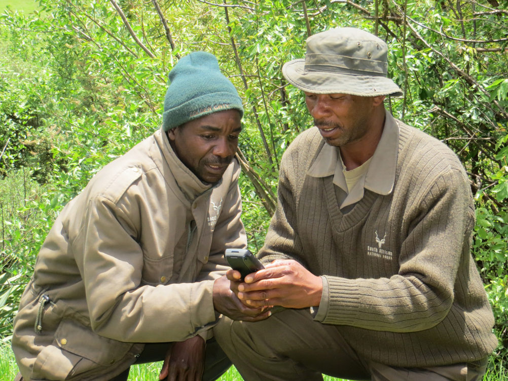
Peace Parks Foundation’s Geographic Information Systems (GIS) team provides regular training on the use of SMART. In so doing, field staff are empowered with enhanced skills that can potentially lead to improved park management.


